COMMON ANALYSIS
Last update: June 2022
General information
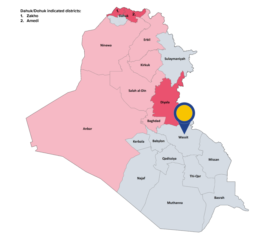
Wassit shares an international border with Iran in the east. It borders Diyala and Baghdad governorates to the north, Babil and Qadissiya to the west, and Dhi Qar, and Missan governorates to the south. The governorate is divided into the following districts: Azezia, Badra, Hai, Kut, Na'maniya, Suwaira. The capital is Kut. The Iraqi CSO estimated the governorate’s population for 2021 at1 489 631, with the majority being Shia Arabs. Most of the governorate’s residents depend on agriculture. The Wassit Thermal Power Plant, securing approximately 20 % of Iraq’s national power grid, is also located in the governorate.
Background of the conflict
Wassit faced heavy fighting during the US-led invasion in 2003. In 2004, Sadrist leader Muqtada Al-Sadr started a revolt against the coalition forces and the Iraqi government, and his Mahdi army managed to take control in several southern cities, including Kut. Unlike many other parts of Iraq, the governorate did not become occupied by ISIL in 2014, however it experienced bomb attacks by Sunni insurgents targeting Shia civilians in recent years.
Between October 2019 and March 2021, demonstrations demanding reforms and economic and social rights were held in the governorate.
Actors: control and presence
In February 2020, responsibility for security in Wassit was handed over to the local police. Previously the Rafidain Operations Command of the Iraqi army was overseeing security in the governorate.
The southern governorates are considered areas of shared control between the Iraqi army or police, and the PMF.
Nature of violence and examples of incidents
In the reference period protesters, activists, and civilians were attacked, including by riot police, resulting in casualties. Clashes between tribes were also reported, sometimes on grounds of minor disputes.
Other examples of security incidents include a bomb explosion in a market in the city of Kut, in which no injuries were reported, and the explosion of a landmine, in which one person was injured.
Incidents: data
In the reference period, ACLED reported a total of 11 security incidents (average of 0.2 security incidents per week) in Wassit of which 7 incidents were coded as violence against civilians, 3 as explosion/remote violence and 1 as battle. UNAMI[44] recorded no armed conflict-related incidents in the reference period.
Geographical scope
The majority of security incidents were recorded in the district of Kut.
Civilian casualties: data
UNAMI recorded no casualties in the reference period.
Displacement
As of 30 September 2021, Wassit hosted a total number of 4 512 IDPs, mainly originating from Ninewa. No IDPs from Wassit governorate were documented in other parts of of the country and no returns were recorded in the governorate.
Further impact on civilians
Wassit is reportedly contaminated with cluster munition remnants, with ERW, and with landmines. As of the end of the year 2020, the area contaminated by cluster munition remnants in Wassit was 299 143 square metres. As of August 2020, the contaminated area with ERW in the governorate was listed at 75 257 641 square metres and the area contaminated with landmines at 39 583 178 square metres.
|
|
Looking at the indicators, it can be concluded that in the governorate of Wassit there is, in general, no real risk for a civilian to be personally affected within the meaning of Article 15(c) QD. |
Main COI references: Security 2022, 2.18
[44] UNAMI data focuses on armed conflict-related incidents, which have directly impacted civilians (causing civilian casualties) and the civilian nature of property and protected areas (such as civilian houses, cropland, schools, health facilities and mosque), see ‘Indicators of indiscriminate violence, number of incidents’.