COMMON ANALYSIS
Last update: June 2022
General information
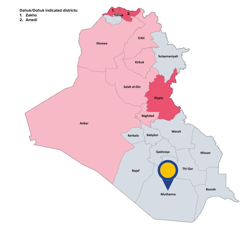
Muthanna (Al-Muthanna) governorate is located in south-western Iraq and has borders with Najaf, Qadissiya, Thi-Qar and Basrah governorates and an international border with Saudi-Arabia. It is the country’s second largest governorate and mostly comprised of desert and dry land. The governorate is divided into four districts: Al-Samawa (Samawa, Samawah), Al-Khidhir, Al-Rumaitha and Al-Salman. The capital of the governorate is Al-Samawa in the governorate’s north.
The Iraqi CSO estimated the governorate’s population for 2021 at 879 874 with around 471 000 people living in rural areas. The majority of Muthanna’s inhabitants are Shia Arabs, while an estimated 2 % of the governorate’s population is Sunni Muslims. Muthanna’s desert areas are inhabited by Bedouins who engage in pastoralist subsistence.
Chronic underdevelopment, water scarcity and poor quality of the governorate’s water networks, which largely depends on agriculture, have pushed almost half of Muthanna’s population below the national poverty line.
Background of the conflict
After the reign of Saddam Hussein, Muthanna became a ‘hotbed’ for Shia groups and militias. Having been spared the onslaught of ISIL’s 2014 offensive, Muthanna governorate was assessed as one of the safest provinces of Iraq. Since 2015, protests spurred by economic opportunity and the lack of service provision as well as the killing of protesters and activists erupted repeatedly in Muthanna. Causes of tribal conflict in Muthanna were control of land, oil revenues and water scarcity. The government launched campaigns to seize unlicensed weaponry in areas characterised by armed tribal conflicts in an attempt to curb the outbreaks of tribal violence. In 2020 and 2021 plans for economic cooperation between Iraq and the neighbouring Saudi Arabia were torpedoed by pro-Iran groups, who accused the Iraqi government of 'normalization with Iraq’s eternal enemy'. Widespread corruption, mismanagement and the poor level of services spurred protests in 2020 and 2021.
Actors: presence and control
All eight southern governorates should be considered areas of shared control between the Iraqi army or police, and the PMF. Since May 2020, the Iraqi security forces’ headquarters responsible for exercising operational control in the governorate has been restaffed. The Badr organisation influences PMF in the governorate and provides the administrative head of the PMF in Muthanna.
Nature of violence and examples of incidents
In the reference period roadside bombs targeted International Coalition convoys in Muthanna governorate. A roadside IED exploded near a checkpoint injuring two civilians. Clashes between tribal groups in Muthanna were reported in April 2021.
In the framework of the protest that took place in several governorates in Iraq, instances of clashes between protesters and ISF as well as violent demonstrations following the parliamentary elections have been documented in Muthanna.
Incidents: data
In the reference period, ACLED recorded 26 security incidents (an average of 0.4 security incidents per week) in Muthanna of which 14 incidents were coded as explosions/remote violence, 9 as battles and 3 as violence against civilians. UNAMI[37] recorded 5 armed conflict-related incidents, the five of them taking place from 1st January until 31 October 2021 (average of 0.1 security incidents per week for the full reference period).
Geographical scope
The majority of the security incidents took place in Al-Samawa district, followed by Al-Rumaitha district.
In the reference period, UNAMI recorded a total of 9 civilian casualties (5 deaths and 4 injuries) in the aforementioned armed conflict-related incidents. More specifically, all the 9 casualties were reported from 1st January until 31 October 2021. Compared to the official figures for the population in the governorate, this represents 1 civilian casualty per 100 000 inhabitants for the full reference period.
Displacement
As of 30 September 2021, 900 IDPs were registered in Muthanna. No IDPs originating from Muthanna were registered elsewhere in the country. As of September 2021, no returns to Muthanna governorate were documented.
Further impact on civilians
As of August 2020, the area contaminated by explosive remnants of war (ERW) in the governorate was listed as 10 481 185 square metres. Nomadic communities were reportedly particularly at risk from cluster munition remnants.
|
|
Looking at the indicators, it can be concluded that in the governorate of Muthanna there is, in general, no real risk for a civilian to be personally affected within the meaning of Article 15(c) QD. |
Main COI references: Security 2022, 2.14
[37] UNAMI data focuses on armed conflict-related incidents, which have directly impacted civilians (causing civilian casualties) and the civilian nature of property and protected areas (such as civilian houses, cropland, schools, health facilities and mosque), see ‘Indicators of indiscriminate violence, number of incidents’.