COMMON ANALYSIS
Last update: June 2022
General information
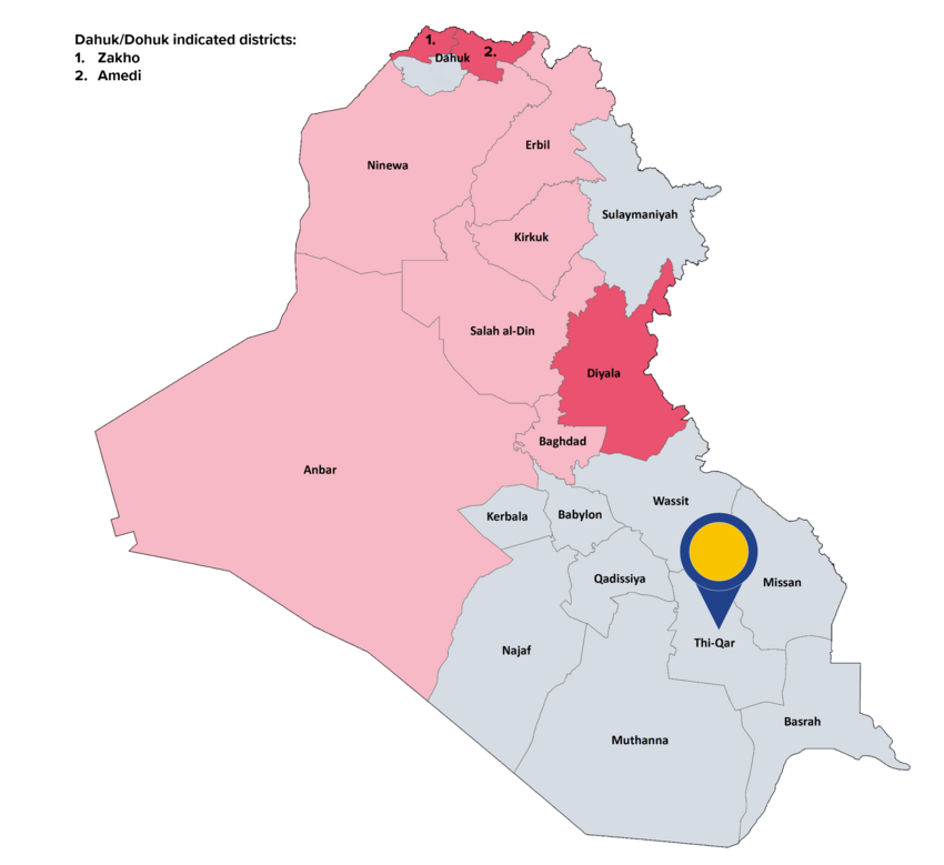
Thi-Qar (Dhi-Qar) governorate borders Wassit to the north, Missan to the east, Basrah to the east and south, and Muthanna and Qadissiya to the west. The governorate is divided into five districts: Al-Jubayish (Al-Chibayish), Al-Nasiriya (Nassriyah), Al-Shatra, Suq Al-Shuyukh (Suq Al-Shoyokh), and Al-Rifa’i. The capital of the governorate is Nasiriya.
The Iraqi CSO estimated the governorate’s population for 2021 at 2 263 695 with around 1 453 000 people living in urban areas. The majority of Thi-Qar’s inhabitants are Shia Arabs, while there is also a Sunni Arab minority and small communities of Christians and Sabean Mandeans. The southern marshlands of the governorate are inhabited by Marsh Arabs.
Thi-Qar governorate is ‘one of the most underdeveloped areas of Iraq’, with infrastructure that has suffered from many years of underinvestment. The governorate mostly depends on the agricultural, although this sector is declining due to environmental degradation, climate change, high salinity and contamination of water. Thi-Qar is home to the Garraf and the Nasiriya oil fields, but in a 'distinctly smaller than that of Basrah' scale.
Background of the conflict
Thi-Qar did not become occupied by ISIL. The security void that opened in the southern governorates when the security forces were redeployed in 2014 to fight ISIL insurgency in central and northern Iraq left the southern region open to tribal clashes. When the October 2019 mass anti-government protests that began in Baghdad spread to the southern governorates, Thi-Qar became the ‘second capital’ of the protest movement, although the ‘protests decreased in frequency and size following the outbreak of the coronavirus pandemic in 2020.’
Actors: control and presence
All eight southern governorates should be considered areas of shared control between the Iraqi army or police, and the PMF. The PMF commander in Thi-Qar is aligned to the Badr militia.
Nature of violence and examples of incidents
During the reference period, protests evolving into riots were reported, so as clashes with police, targeting, killing and wounding of activists and protesters. There were several instances of protesters blocking highways and bridges. Tribal clashes and several IED attacks by Iran-backed militias on convoys supporting the International Coalition against ISIL were also reported.
Incidents: data
In the reference period, ACLED recorded 176 security incidents (an average of 2.7 security incidents per week) in Thi-Qar of which 82 incidents were coded as explosions/remote violence, 50 as battles and 44 cases as violence against civilians. UNAMI[43] recorded 4 armed conflict-related incidents, the four of them taking place from 1st January until 31 October 2021 (average of 0.1 security incidents per week for the full reference period).
Geographical scope
The majority of the security incidents took place in Al-Nasiriya district.
Civilian casualties: data
In the reference period, UNAMI recorded a total of 7 civilian casualties (4 deaths and 3 injuries) in the aforementioned armed conflict-related incidents. More specifically, the seven casualties were reported from 1st January until 31 October 2021.
Displacement
As of 31 July 2021, 3 222 IDPs were registered in Thi-Qar governorate. No IDPs originating from Thi-Qar were registered elsewhere in the country. As of September 2021, no returns to Thi-Qar governorate were documented.
Further impact on civilians
As of August 2020, the contaminated area with explosive remnants of war (ERW) in the governorate was listed at 57 717 714 square meters. One civilian was killed by the explosion of an ERW during the reference period.
|
|
Looking at the indicators, it can be concluded that in the governorate of Thi-Qar there is, in general, no real risk for a civilian to be personally affected within the meaning of Article 15(c) QD. |
Main COI references: Security 2022, 2.17
[43] UNAMI data focuses on armed conflict-related incidents, which have directly impacted civilians (causing civilian casualties) and the civilian nature of property and protected areas (such as civilian houses, cropland, schools, health facilities and mosque), see ‘Indicators of indiscriminate violence, number of incidents’.